
 Via Transilvanica
Stage 4 · Sadova – Pasul Mestecăniș
21 km · 8 hours · easy as far as Fundu Moldovei, then moderate · +921 m
21 km · 8 hours · easy as far as Fundu Moldovei, then moderate · +921 m
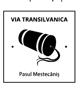
You come down from Lake Iezer, walk a few hundred metres left along the road to a junction with a milestone, then right into Valea Ioanei. Within a kilometre there is a quarry on the right, and a hundred metres further the next milestone. You cross a brook and climb gently through hay meadows full of wildflowers, to where the road bears left at a large rock, visible from far off.
Through small clearings with barns and summer farmsteads you come to a crossroads with a sheepfold ahead, where you take the cart track on the right. It climbs gently to the milestone on the crest, then drops steeply past farmsteads, on a track that runs now right, now left of the stream, sometimes straight through it, into Fundu Moldovei.
In the village you pass the town hall, and a few hundred metres on, opposite, is Pensiunea La Moară. Here the route turns right again, up the valley of the Arseneasa. The farmsteads thin out, the tarmac ends, and the forest begins. Four kilometres to the clearings, then ridge all the way, with mountains on the horizon and cattle grazing. The last two kilometres drop in the shade to the road, at Cabana Mestecăniș and Pensiunea Luceafărul.
There are few beds on the pass. If you cannot get one, I would take a lift down to Vatra Dornei and pick the route up again next day from the same spot.
Sadova → Pasul Mestecăniș · traseu pietonal
Altitudes in metres. The stage's total ascent is greater than the difference between its ends, because the path climbs and drops several times.
23 beds, 280 lei for a double room, breakfast and dinner on request. 0726 870 400.
250 lei a room out of season, 300 lei in season. All year: 0757 462 589 or 0729 127 123.
24 beds in the guesthouse, 25 in the cabins, restaurant. Doubles from 100 lei, three-person cabins from 80 lei. 10% off for VT walkers: 0744 779 768 or 0744 383 573.
Call at least a day ahead. In villages lodging is prepared, not found: your host puts the water on to heat and cooks only if she knows you are coming. Prices change from season to season, so confirm them on the phone.

You can also buy the hiker's booklet here: at the mini-market below Restaurant Mestecăniș. The restaurant gives VT walkers 10% off.
A geological reserve of 1,000 square metres, in the Obcina Feredeului, on the Pârâul Cailor valley, Fundu Moldovei commune. The red rocks hold Triassic fossils: fish, shells, ammonites.
A commune of seven villages, some fifty kilometres from the Ukrainian border, with its traditions kept: carolling on Christmas Eve, the sowing ritual on St Basil's day, the Buhai band rehearsed from December, the eggs painted in Holy Week.
A local hero from Fundu Moldovei: in 1941 he saved 25,000 Jews from deportation to Transnistria. His grave is in the cemetery beside the wooden church.
Neighbouring stages
Sleep half an hour from the stage
Câmpulung Moldovenesc is half an hour from either end of this stage. You can sleep two nights in the same bed and walk the stage without a full pack, driving back at the end.
Route, waymarking, ascent, critical spots and lodging data are those published officially by the Tășuleasa Social association, which waymarked and maintains the path.
Book direct
No platform commission. Self check-in, late check-out when possible and free cancellation up to seven days before.