A linear trail: you start in one place and finish in another. Either walk back the same way, leave a car at the far end or use the train/a transfer; we'll tell you at the gate what works.
Daylight · Dornișoara · today,
Sunrise07:03
Sunset19:21
Daylight12 h 18 min−3 min vs yesterday
Until sunset–
Times for the trailhead. Between the ridges it gets dark earlier: turn back an hour before sunset.
Weather · Dornișoara · today,
13°min 5°thunderstorm
Precipitation100% · 9,9 mm
Wind14 km/h · gusts 50
UV index4,5
Elevation1.035 m
Tue8°4°
Wed7°3°
Thu9°4°
Fri12°2°
Sat12°4°
Forecast for the trailhead. On the ridge it is colder and windier.
What the walking is like
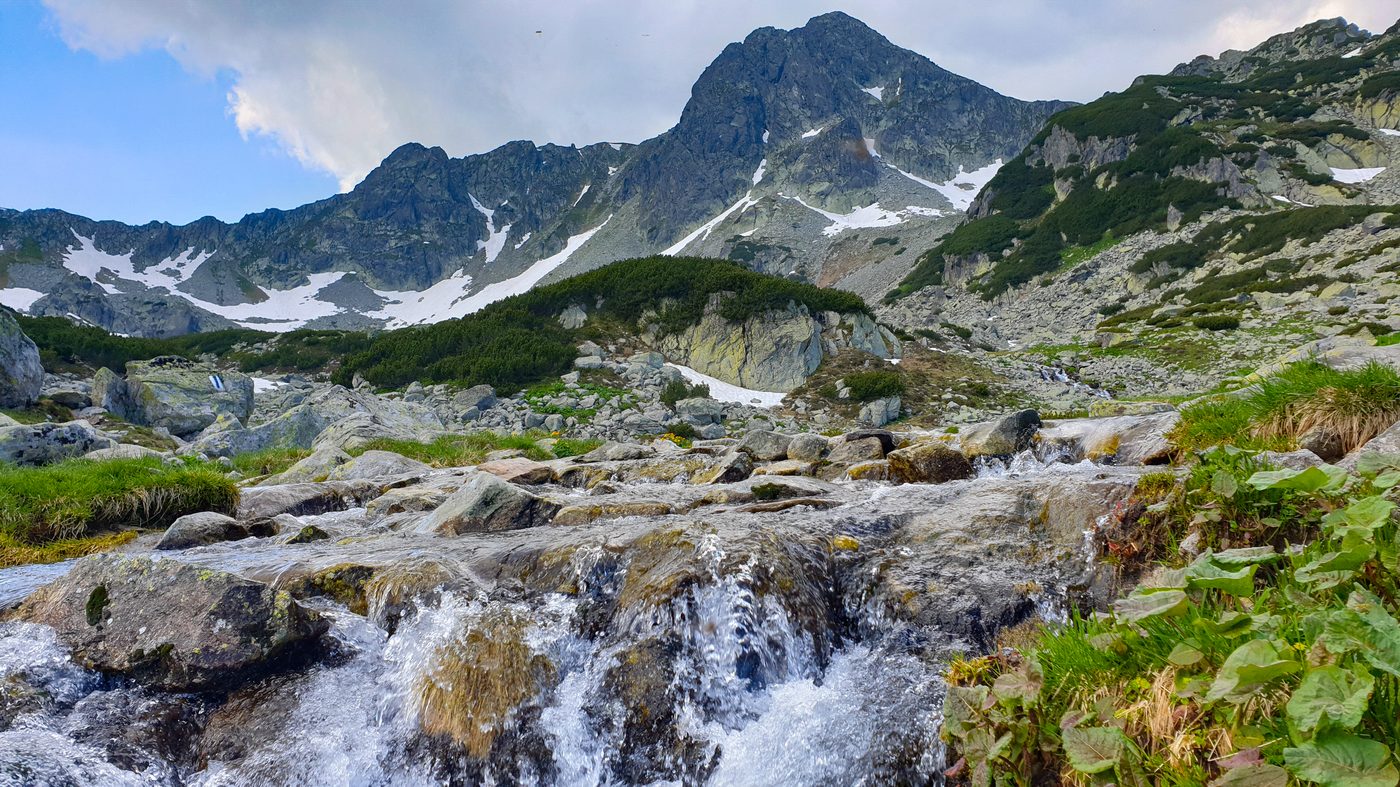
A quiet climb along the Dorna, from its springs to Poiana Izvoarelor, the crossroads of trails below the caldera. No special gear, open all year; a gentle way into the Călimani.
Mountain trail
Dornișoara · 900 m
Izvoarele Dornei
Poiana Izvoarelor · 1,540 m · water
What we'd tell you at the gate
Poiana Izvoarelor has water and is a trail hub: from here you can continue to Rețitiș or to Gruiu.
Elevation profile
Dornișoara (landmark: the village centre; the marked start is at the exit towards the mountain)+640 m of ascent · 4–4½ ore
Not to miss on the way
1
Călimani National Park covers over 24,000 hectares and is the only protected area covering a whole massif in the county.
What else you can do on the trail
Ski touring in winter, on the open ridges (only with experience and avalanche kit).
🐴 Horse riding: tours from Gura Haitii and Poiana Negrii.
Mountain biking on the old logging roads from Gura Haitii.
What grows and what moves along the trail
Flora
dwarf pine and juniper on the plateaus
mountain peony at Iezerul Călimanului (reserve)
blueberry and cranberry on the subalpine meadows
spruce up to 1,700 m, then alpine zone
Fauna
Carpathian red deer and chamois (reintroduced in the Călimani)
brown bear, wolf, lynx
capercaillie in the spruce stands
The species above are those documented in the area by the protected-area administration; what you see depends on season, hour and luck.
How long it takes, honestly
A linear trail: the time is one way (A → B). If you return the same way, add about two thirds; or leave a car at the far end / take the train. The duration is the one in Suceava County's official guide (Salvamont); the kilometres and driving minutes to the trailhead are from Google Maps.
4–4½ hoursone way, A to B, at your usual pace
3 hoursback the same way (estimate)
7–7½ hoursout and back, with short breaks
6–7 hoursone way, if you stop for photos and eat on the grass
7–8 hoursone way, with children, grandparents or a pack full of “just in case”
Sleep at the foot of the mountain
Start from the gate, not from a car park
La Cuib is 80 minutes by car from the start of this trail: a fully equipped kitchen that is yours from first light, a place to dry boots, a garden for the evening. Three nights, the whole house, 1.797 lei.
 Via Transilvanica