Leșu commune – Dealul Murguleț – Heniul Mare – Heniul Mic – Prundu Bârgăului commune
Waymarkingblue triangle
EffortHigh
TechnicalModerate
TypeTraverse A → B
Duration12 hours
Ascent+1.184 m
Distance22 km
A linear trail: you start in one place and finish in another. Either walk back the same way, leave a car at the far end or use the train/a transfer; we'll tell you at the gate what works.
Daylight · Leșu commune · today,
Sunrise07:08
Sunset17:00
Daylight9 h 51 min−2 min vs yesterday
Until sunset–
The times are for the starting point. Between ridges the light goes earlier than the clock says, so turn back a good hour before sunset.
Weather · Leșu commune · today,
8°min -0°cloudy
Precipitation0%
Wind9 km/h · gusts 22
UV index2,5
Elevation522 m
Fri7°-1°
Sat8°-3°
Sun8°-4°
Mon9°-3°
Tue9°-2°
The forecast is for where you set off. Up on the ridge, count on a few degrees less and on wind you cannot see from below.
What the walking is like
A crossing over the two Heniu peaks, from Leșu to Prundu Bârgăului. The longest connecting route between the villages on the two slopes.
Mountain trail
Leșu · 426 m, official starting altitude
Dealul Murguleț
Heniul Mare · 1,610 m, the highest peak of the range
Heniul Mic
Prundu Bârgăului · 510 m, official finishing altitude
What we'd tell you at the gate
The marking is done as far as Heniul Mare; on Heniul Mic, Salvamont records it as damaged.
Prundu Bârgăului has a railway station, so the return can be made by train.
Elevation profile
Leșu commune (DJ 173)+1.184 mof ascent · 12 hours
Not to miss on the way
1
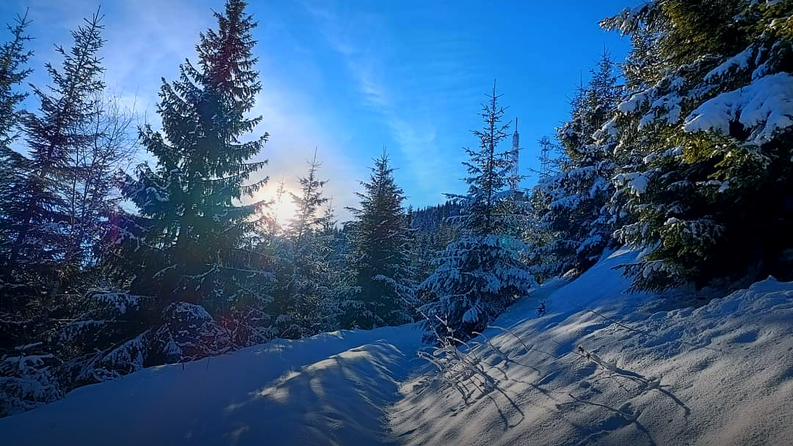
On Heniul Mare stands a radio and television relay commissioned on 31 December 1977. The main tower is 74 m high and is served by a small cable car on twelve pylons, descending two and a half kilometres towards Prundu Bârgăului.
2
Prundu Bârgăului has a railway station, on the line from Bistrița, so the route can be walked with the return by train.
What grows and what moves along the trail
Flora
wide beech forests, over a thousand hectares on the northern slope of the Heniu
below 750 m, hay meadows with birch, hazel and beech, called prisacă by the locals
in spring, snowdrops and corydalis in the beech forest
towards the ridge, pure spruce forest
Fauna
Carpathian red deer, roe deer and wild boar
bear, wolf and lynx: populations documented in the range
capercaillie in the old spruce stands
lesser spotted eagle and raven above the ridges
The species above are those documented in the area by the protected-area administration; what you see depends on season, hour and luck.
How long it takes, honestly
The duration is the one in the annex to the Statute of Bistrița-Năsăud County. Linear route: the duration is for the one-way walk.
12 hoursone way, A to B, at your usual pace
9 and a half hoursback the same way (estimate)
21 and a half hoursout and back, with short breaks
18 hoursone way, if you stop for photos and eat on the grass
one way, with children, grandparents or a pack full of “just in case”
Sleep at the foot of the mountain
Start from the gate, not from a car park
La Cuib is 180 minutes by car from the start of this trail: a fully equipped kitchen that is yours from first light, a place to dry boots, a garden for the evening. Three nights, the whole house, 1.797 lei.
 Via Transilvanica