A linear trail: you start in one place and finish in another. Either walk back the same way, leave a car at the far end or use the train/a transfer; we'll tell you at the gate what works.
Daylight · Mestecăniș Pass · today,
Sunrise07:06
Sunset16:57
Daylight9 h 50 min−2 min vs yesterday
Until sunset–
The times are for the starting point. Between ridges the light goes earlier than the clock says, so turn back a good hour before sunset.
Weather · Mestecăniș Pass · today,
5°min -4°cloudy
Precipitation0%
Wind7 km/h · gusts 17
UV index2,7
Elevation1.093 m
Fri4°-4°
Sat2°-5°
Sun5°-5°
Mon7°-5°
Tue6°-5°
The forecast is for where you set off. Up on the ridge, count on a few degrees less and on wind you cannot see from below.
What the walking is like
The massif's main ridge route. From Mestecăniș Pass along the crest: Muntele Lat, Piciorul Lat, Poiana Fierului, small saddles, then Poiana Ciungi and the steep climb up Giumalău, with 250 m in the last kilometre. From the summit, one of the great panoramas of the Carpathians: the Obcini, Rarău, Pietrosul Bistriței, Ceahlău, the Călimani, Rodna. Descent into the Fundu Colbului saddle and, on the link trail, to Cabana Rarău.
Mountain trail
Mestecăniș Pass · 1,096 m
Muntele Lat · Piciorul Lat
Poiana Fierului
Poiana Ciungi · alpine zone
Giumalău Peak · 1,857 m
Fundu Colbului saddle · 1,285 m
Cabana Rarău · 1,520 m
What we'd tell you at the gate
Done in two days, with a night at Cabana Giumalău.
Winter: only with experience, snowshoes/touring skis and avalanche kit.
Elevation profile
Mestecăniș Pass+797 mof ascent · 9–10 hours
Not to miss on the way
1
Mestecăniș Pass (1,096 m) is the gap through which the Tatars entered Moldavia; the ridge track is still called the “Tatars' Road”. The crest towards Giumalău is one of the longest ridge walks in Bucovina, with no village on the way.
2
Giumalău stands at 1,857 m and is the highest peak around; from the top, on a clear day, you count six ranges: Rarău, the Obcini, Rodna, Călimani, Bistrița, Ceahlău. The subalpine meadow on the ridge is thick with blueberries in August.
3
Cabana Giumalău sits at 1,600 m, has power from a generator and a wind turbine, but serves no meals: here you carry the food up yourself.
4
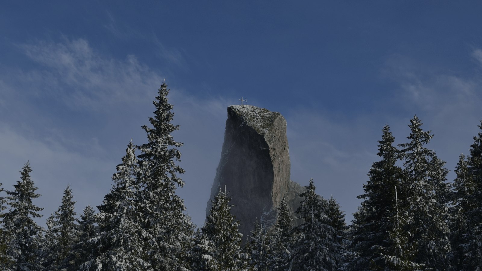
The Pietrele Doamnei stand at 1,634 m and are reef limestone: the corals of a warm sea 140 million years ago, raised to the sky. Legend has it that Petru Rareș's wife hid her treasure here, and the mountain's name comes from Rareș.
What else you can do on the trail
Winter: ski touring and snowshoeing on the ridge, only with experience and avalanche kit.
Trail running: Bucovina Ultra Rocks, the July mountain race, passes this way.
What grows and what moves along the trail
Flora
subalpine meadows with blueberry, cranberry and juniper
old spruce stands in the Giumalău–Valea Putnei old-growth forest
yellow gentian and arnica in the ridge clearings
isolated dwarf pine towards the summit
Fauna
capercaillie, specially protected in the old forest above Valea Putnei
red deer and wild boar in the forests at the base
brown bear, especially at the blueberries, August–September
raven and common buzzard on the ridge
The species above are those documented in the area by the protected-area administration; what you see depends on season, hour and luck.
How long it takes, honestly
A multi-day linear trail: the time is for the whole route A → B, in two or three stages, with a tent or with guesthouses in the villages along the way. The duration is the one in Suceava County's official guide (Salvamont); the kilometres and driving minutes to the trailhead are from Google Maps.
9–10 hoursone way, A to B, at your usual pace
n/aback the same way (estimate)
9–10 hoursout and back, with short breaks
13–15 hoursone way, if you stop for photos and eat on the grass
15–18 hoursone way, with children, grandparents or a pack full of “just in case”
Sleep at the foot of the mountain
Start from the gate, not from a car park
La Cuib is 24 minutes by car from the start of this trail: a fully equipped kitchen that is yours from first light, a place to dry boots, a garden for the evening. Three nights, the whole house, 1.797 lei.
 Via Transilvanica