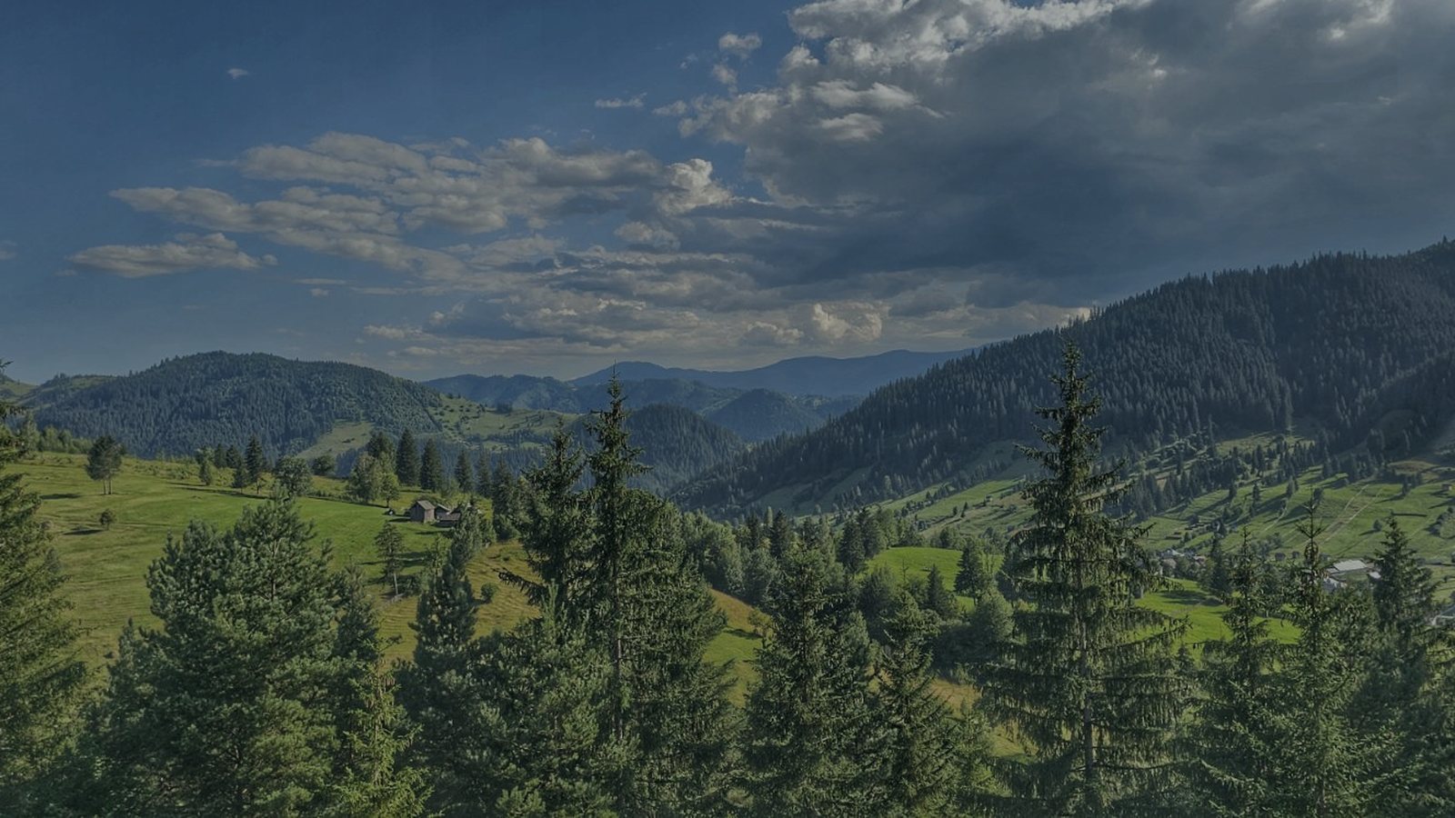
On your own two feet

Mountain trails and nature near Câmpulung Moldovenesc

Rarău is 20 minutes from the gate. Giumalău, the highest peak around, is fifteen minutes by car. The Via Transilvanica passes a few kilometres from the gate, and in July the Bucovina Ultra Rocks race starts from the town's ski slope. Here boots go on in the morning and come off in the evening, on the terrace. You choose between one-hour paths and full-day summits, and whichever it is, the same garden, the same stars and a good bed wait for you at night.

Times and distances are Google Maps driving figures from our gate. For the walking trails, with waymarks and times: the 47 trails in Rarău–Giumalău, Călimani, Suhard, Bistrița and the Obcini.
  1. Pârâul Mesteacăn spring 2 min 0,6 km

    Pârâul Mesteacăn spring

    Six hundred metres from the house, a spring of cold, clean water that has run out of a black pipe, between stones and grass, for as long as anyone remembers. The whole town quenches its thirst here: people come with bottles, hikers stop before Măgura, children put their hands under the jet. Start any trail from here, bottle full.

    Take me there2 min · 0,6 km
  2. Măgura, from the Pârâul Mesteacăn spring 2 min 0,6 km

    Măgura, from the Pârâul Mesteacăn spring

    The easy trail next to the house: it starts up at the Pârâul Mesteacăn spring, where you quench your thirst, and climbs gently up Măgura. From the top you see the Pietrele Doamnei, all of Câmpulung and the silted-up dams in the valley. One hour, two, as long as you like; good as a warm-up before Rarău too.

    Take me there2 min · 0,6 km
  3. Istrate viewpoint, Câmpulung 4 min 1,1 km

    Istrate viewpoint, Câmpulung

    The hill above the town, on Strada Constantin Grămadă: five minutes by car, then a few steps through the grass, and all of Câmpulung lights up at your feet, with Rarău behind. Our spot for a picnic at sunset and for evenings with a blanket over your shoulders. The last stretch is steep and unpaved: good shoes.

    Take me there4 min · 1,1 km
  4. Bucovina Ultra Rocks 4 min 1,1 km

    Bucovina Ultra Rocks

    A mountain running race at the end of July, starting and finishing at the Runc ski slope: from the 10 km RUNC Challenge to 4 Summits (88 km, Rarău–Pietrosu–Giumalău) and BEAST 180. The house is a few minutes from the start line.

    Take me there4 min · 1,1 km
  5. Mountain-bike routes 6 min 2 km

    Mountain-bike routes

    The forest roads around the house are natural MTB ground: the Transrarău climb (17 km, 900 m of ascent) for the trained, the road to the Moara Dracului Gorge and the old-growth forest for easy enduro, the Sadova and Pojorâta valleys for family rides on quiet tarmac. Bikes can be hired at Ariniș Park; from La Cuib you set off straight from the gate.

  6. Via Transilvanica 9 min 6,4 km

    Via Transilvanica

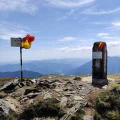
    The 1,400 km route passes through Sadova and Pojorâta, a few km from the house, marked with andesite milestones. Day stages towards Vatra Moldoviței (north) or towards Mestecăniș and Vatra Dornei (west).

    Take me there9 min · 6,4 km
  7. Giumalău Peak (1,857 m) 13 min 9 km

    Giumalău Peak (1,857 m)

    The highest peak around. Climb from Pojorâta or Valea Putnei, 4–5 hours, the Giumalău hut on the way, a 360° panorama over Rarău, Suhard and Călimani.

    Take me there13 min · 9 km
  8. Moara Dracului Gorge 29 min 11,1 km

    Moara Dracului Gorge

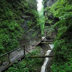
    A narrow gorge on the Caselor stream, below Rarău. Leave the car after the railway and walk 1–2 hours through forest, or drive up the forest road to the last 20 minutes. Cool and shady in summer.

    Take me there29 min · 11,1 km
  9. Iezer Lake, Sadova (Obcina Feredeului) 23 min 14,7 km

    Iezer Lake, Sadova (Obcina Feredeului)

    A mountain lake in Obcina Feredeului, at the end of a valley in Sadova: a carved Bucovina gate at the entrance, wild ducks, a small zipline over the water, easy paths around. A place for a picnic and for quiet.

    Take me there23 min · 14,7 km
  10. Bats' Cave (Borta Îngrădită) 33 min 16,5 km

    Bats' Cave (Borta Îngrădită)

    A cavity at 1,500 m on Rarău, made up of six chambers sheltering bat colonies. A reserve: the interior isn't visited and it isn't waymarked; worth it only as an exploring destination on the surrounding trails, with a map.

    Take me there33 min · 16,5 km
  11. Slătioara old-growth forest 32 min 21,2 km

    Slătioara old-growth forest

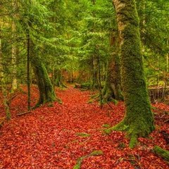
    A UNESCO virgin forest on the south-eastern slope of Rarău, between 790 and 1,353 m: 400-year-old spruces and firs, no chainsaws, marked trails towards Todirescu. “Rarău's wooden cathedral.”

    Take me there32 min · 21,2 km
  12. Mestecăniș Pass and Obcina Mestecăniș 24 min 22 km

    Mestecăniș Pass and Obcina Mestecăniș

    The pass on the DN17, at 1,096 m, between Giumalău and Obcina Mestecăniș: a stop for the panorama and the starting point along the ridge, to Mestecăniș Peak and on to Lucina Peak, through clearings with views of Rarău, Giumalău and Suhard.

    Take me there24 min · 22 km
  13. Piatra Șoimului viewpoint 32 min 23,1 km

    Piatra Șoimului viewpoint

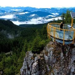
    A platform on the rock, 10–15 minutes' walk from the Transrarău, with a view over the whole Rarău massif. Maximum 15 people on the platform; in season there's a queue, go at sunrise.

    Take me there32 min · 23,1 km
  14. Rarău weather station 33 min 23,4 km

    Rarău weather station

    The highest inhabited point on Rarău, at 1,536 m, with a white dome visible from far away. The path from the Pietrele Doamnei to here is a short ridge walk with views in every direction: Giumalău, the Obcini, the Bistrița valley. The place from which you best see the weather coming.

    Take me there33 min · 23,4 km
  15. Rarău – Pietrele Doamnei 34 min 23,7 km

    Rarău – Pietrele Doamnei

    Limestone towers at 1,634 m, raised, legend says, to guard the treasure of Petru Rareș's wife, hidden here as she fled the Turks. Drive to Hotel Alpin Rarău, then walk the path to the foot of the rocks; from town, on foot, along one of three marked trails. All of them, step by step, under Mountain trails.

    Take me there34 min · 23,7 km
They all start at our gate. Pick the dates; the rest falls into place.
Check availability

We checked all of this in . Distances and times are by car from Strada Sirenei 38, calculated with Google Maps.

A base for these days out

All of it, less than an hour from the gate.

The house is in Câmpulung, in the middle of the map: the monasteries east, the mountains west, the steam train north. You don't drive far to get anywhere.

799 lei a night on Booking 599 lei / night See available dates