Out and back: you go up and down the same path; the time above is one way.
Daylight · Pojorâta · today,
Sunrise07:07
Sunset16:55
Daylight9 h 47 min−2 min vs yesterday
Until sunset–
The times are for the starting point. Between ridges the light goes earlier than the clock says, so turn back a good hour before sunset.
Weather · Pojorâta · today,
5°min -0°cloudy
Precipitation5%
Wind18 km/h · gusts 43
UV index2,6
Elevation799 m
Sat3°-3°
Sun9°-4°
Mon7°-5°
Tue9°-4°
Wed9°-1°
The forecast is for where you set off. Up on the ridge, count on a few degrees less and on wind you cannot see from below.
What the walking is like
You start at the railway barrier on the east side of Pojorâta, up the Străjii valley, through the part of the village called Fundu Pojorâtei, with the two dolomite knolls, Adam and Eva, on your right. The track climbs through pastures and hay meadows along the Prașca stream to Prașca Peak, where it meets the blue stripe coming from Câmpulung.
Mountain trail
Pojorâta
Prașca Peak
What we'd tell you at the gate
A good combination: go up on the red dot, continue on the blue stripe towards Rarău.
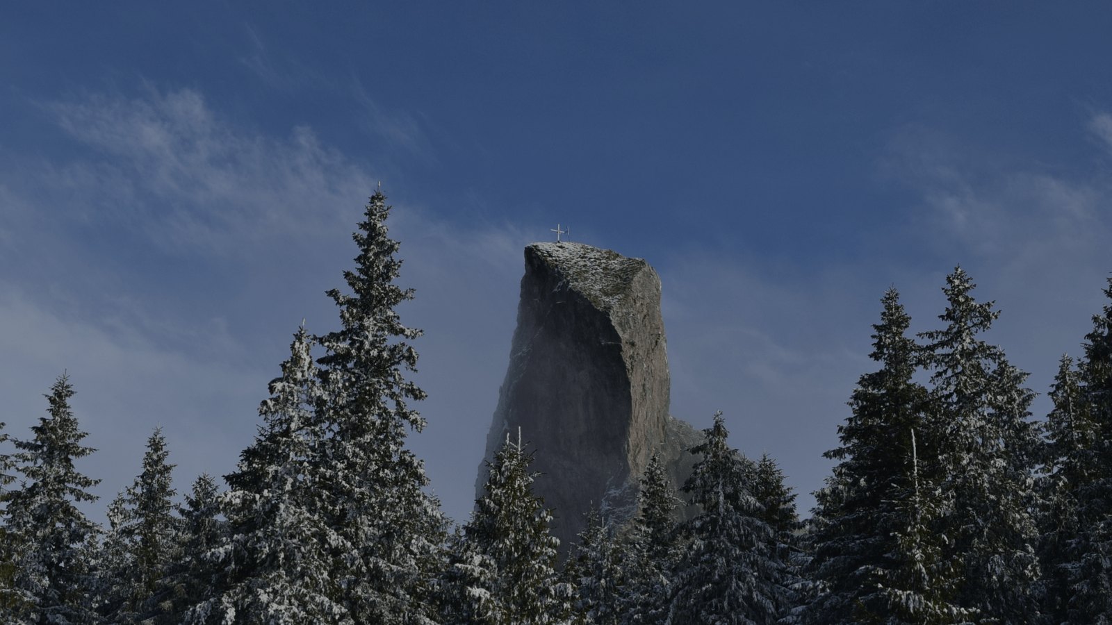
The Adam and Eva rocks, two dolomite knolls at the entrance to Fundu Pojorâtei, are, legend says, two lovers turned to stone. Geologically they are the remains of a reef, like the Pietrele Doamnei.
What else you can do on the trail
MTB: the forest road is good mountain-bike ground; enduro only with the forestry district's consent.
Photography: sunrise in the forest and morning mist between the trunks; tripod recommended.
What grows and what moves along the trail
Flora
hay meadows with daisies, bellflowers and arnica, mown late
dog rose and hawthorn on the low ridges
spruce and clumps of birch (they gave the Pârâul Mesteacăn, the Birch Stream, its name)
Fauna
common buzzard and kestrel over the hay meadows
brown hare and roe deer in the clearings
sheepdogs in summer: don't run, don't raise your stick
The species above are those documented in the area by the protected-area administration; what you see depends on season, hour and luck.
How long it takes, honestly
The time in the guide is one way; back on the same path, count about two thirds of it. The duration is the one in Suceava County's official guide (Salvamont); the kilometres and driving minutes to the trailhead are from Google Maps.
3 hoursone way, to the top, at your usual pace
2 hoursback the same way (estimate)
5 hoursout and back, with short breaks
4–4 hoursone way, if you stop for photos and eat on the grass
4–5 hoursone way, with children, grandparents or a pack full of “just in case”
Sleep at the foot of the mountain
Start from the gate, not from a car park
La Cuib is 11 minutes by car from the start of this trail: a fully equipped kitchen that is yours from first light, a place to dry boots, a garden for the evening. Three nights, the whole house, 1.797 lei.
 Via Transilvanica